
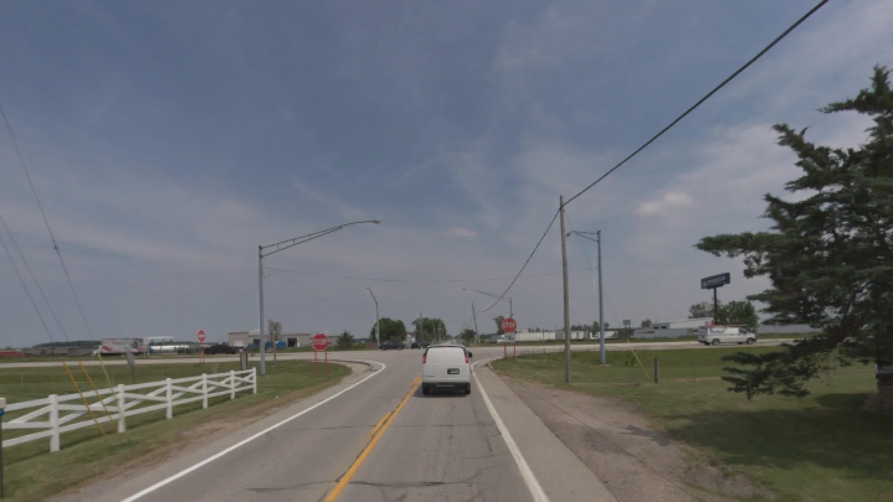
Speed limits backed by measured traffic.
We count and clock traffic at each site, add the roadway context from our imagery, and deliver a study your engineers can take into a speed zone decision.
Why agencies order it
In Ohio, a speed zone study (an engineering investigation) is required when an agency proposes a speed limit that differs from the statutory limits in Ohio Revised Code 4511.21. ODOT’s Traffic Engineering Manual (Chapter 1203) describes the study and divides the road into segments by context and characteristics.
What we do
- Place radar counters for at least 24 hours at each site.
- Measure volume, average and 85th-percentile speed, the 10 mph pace, vehicle length and gaps between vehicles.
- Add roadway context from our imagery (development, geometry and sight distance), plus crash history.
What you receive
- A report for each site, with GPS location and imagery.
- ADT and AADT estimates, with the collection period and adjustment method stated.
- GIS shapefiles and large-format plotted maps.
Recent work
Our project archive reports 108 speed zone studies from 2022 to 2024:
- 2024: 37 studies in Muskingum, Stark and Holmes counties. Read the project ↗
- 2023: 40 studies in Cuyahoga, Stark, Holmes and Huron counties and Norwalk Township. Read the project ↗
- 2022: 31 studies in Belmont, Gallia, Lorain, Marion and Stark counties. Read the project ↗
Want to know how the data behind this study is checked? How we check our work ↗