
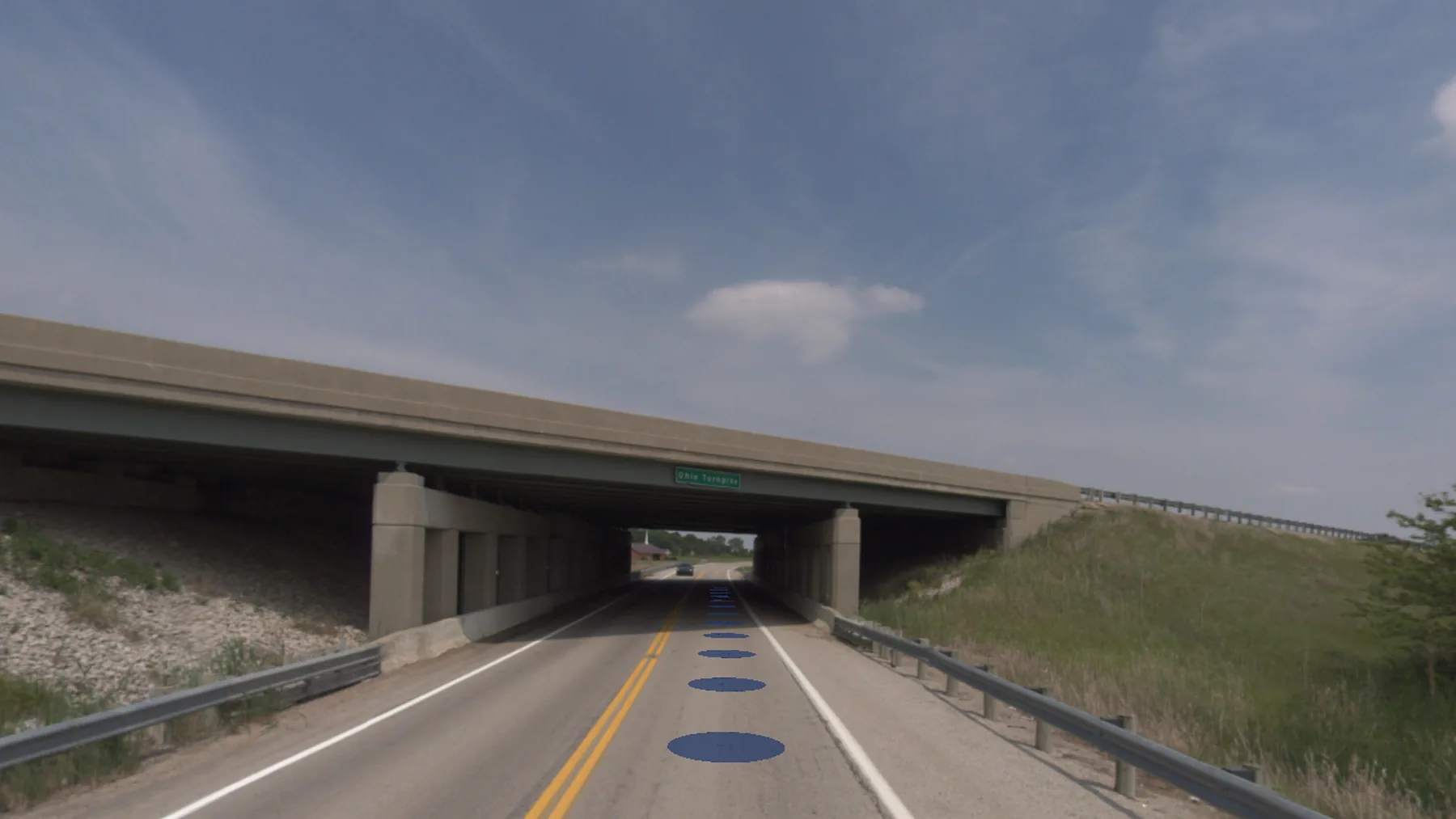
Passing sight distance, measured from one drive.
Centerline Assurance inventories the centerline markings on your roads, measures where passing sight distance falls short, and turns the difference into a located striping plan.
Why agencies order it
On roads with center line markings, the MUTCD calls for no-passing zone markings at horizontal and vertical curves where passing sight distance is less than the minimum in its Table 3B-1, using the speed basis specified by that table (MUTCD 11th edition (2023), Section 3B.03). In Ohio, Section 3B.03 of the Ohio Supplement applies.
Zones drift as roads are resurfaced and trees grow, so periodic re-studies keep the markings matched to the road.
Our patented method
The traditional field method drives two vehicles a set sight distance apart. Mapster’s method, U.S. Patent 12,292,304, runs that two-vehicle line-of-sight check virtually, from a single pass of captured imagery, LiDAR and GPS.
What we do
- Drive each route with 360° cameras, LiDAR and GPS.
- Run the line-of-sight check in both directions, using the sight heights, speeds and zone lengths your agency specifies.
- Apply your rules for special cases such as railroad crossings and intersection approaches.
- Inventory the existing centerline markings and compare them with the measured zones.
What you receive
- GPS-located T-mark data for every zone, ready to load into Esri GIS.
- Graphical logs, comparison reports and exports for preparing the paint contract.
- 360° imagery behind every zone, viewable in MapsterStudio.
Recent work
- Ohio Department of Transportation, 2024–2026: a study network of about 14,000 centerline miles across all 12 districts. Read the project ↗
- Allen and Preble counties, Ohio, 2024: 353 and 259 miles. Read the project ↗
- City of Green, Ohio; Noble County, Indiana; and Ontario County, New York, 2023: 681 miles. Read the project ↗
- Hancock, Noble and Miami counties, Ohio, 2022: 1,314 miles. Read the project ↗
“With the service that MasterMind provided Hancock County for our Pavement Marking Inventory and No-Passing Zone Compliance Safety Study, we were able to find several roadways that needed improvement. As always, they delivered on their contract, on-time, and on-budget!”
- Doug Cade
Hancock County Ohio Engineer, PE, PS
“MasterMind LLC’s mobile mapping and no-passing zone solutions have significantly enhanced our asset management and roadway safety analysis capabilities. The tools they’ve provided have streamlined our workflows and improved efficiency in our day-to-day operations. Their accuracy, efficiency, and customer support are exceptional—we now make better-informed decisions faster than ever before.”
- Zack Smith
Noble County Indiana Engineer, PE, PS
Want to know how the data behind this study is checked? How we check our work ↗