
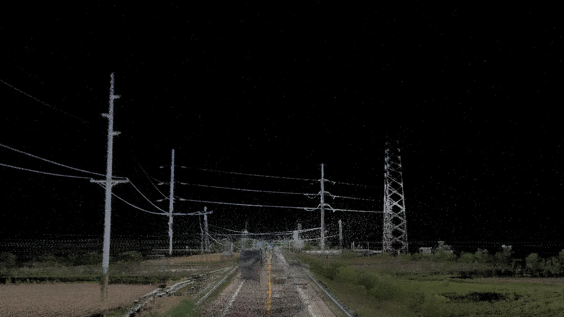
Find what’s inside your clear zone.
We record the trees, poles, headwalls, mailboxes, rocks, fences, water and slopes inside the clear zone, and recommend what to remove, relocate or shield.
Why agencies order it
The clear zone is the unobstructed, traversable area beyond the travel lane where a driver who leaves the road can recover. In Ohio, ODOT’s Location and Design Manual, Volume 1 (Section 600) defines it and gives minimum widths by design speed, traffic volume and side slopes.
What we do
- Agree the criteria with your agency before work starts. Tuscarawas County approved its own roadside hazard criteria form for its study.
- Record fixed objects, and parallel and perpendicular slopes, inside the clear zone, with GPS location and milepoint.
- Evaluate each one for removal, relocation or shielding, including possible guardrail.
What you receive
- A hazard inventory with location, type and imagery for every item.
- Recommended actions such as tree removal, mailbox relocation or new guardrail.
- Work items and summary reports for budgeting and crew planning.
Using RailMaster? We continue to support your team and software. For new projects and workflows, this service is available through MapsterStudio. See a utility pole measured from LiDAR ↗
Recent work
- Tuscarawas County, Ohio, 2024: 461 miles. Read the project ↗
- Hardin and Hocking counties, Ohio, 2023: 582 miles. Read the project ↗
- Ohio counties, 2022: 824 miles. Read the project ↗
Want to know how the data behind this study is checked? How we check our work ↗