
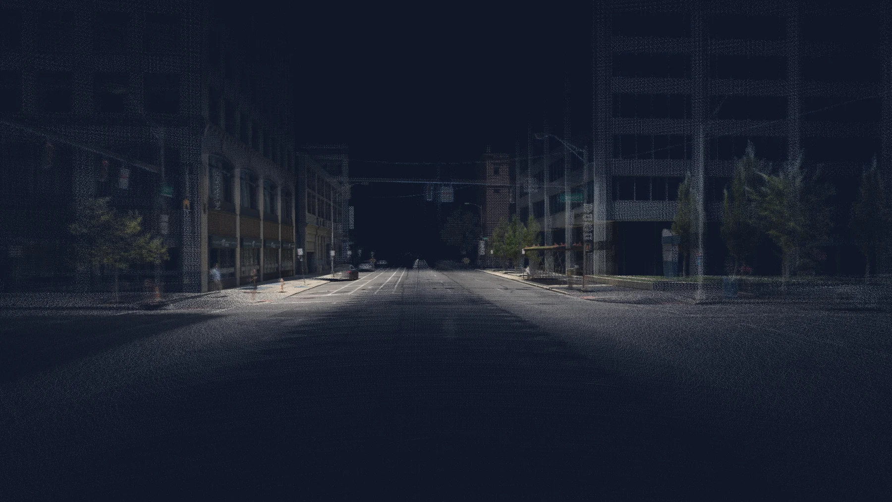
Your roads, back at the office.
One drive captures 360° street-level imagery, a LiDAR point cloud and the vehicle’s position. Every frame is time-stamped, so you always know how current a view is.
Why agencies order it
To review a location without sending a crew, to keep a dated record before and after work, and to measure what a photo alone cannot. The same roadway capture can support several inventories and studies.
What we do
- Drive your routes with 360° cameras, LiDAR and GNSS and inertial positioning.
- Post-process the vehicle’s path, and align imagery and LiDAR on every route.
- Review each route before delivery. How we check our work
What you receive
- Time-stamped 360° imagery and a georeferenced, colored point cloud.
- Access in MapsterStudio, including Atlas, its 3D workspace, to view, measure and take snapshots.
- LiDAR (LAS) exports in your state plane coordinates, plus imagery and data for your GIS.
Need a fresh look after resurfacing or construction? We can re-drive the route. Compare imagery and LiDAR at the same location ↗
Recent work
- Ohio Department of Transportation, 2024–2026: a study network of about 14,000 centerline miles across all 12 districts. Read the project ↗
- More than 60,000 miles of roadway studied across our projects. Read the project ↗
Want to know how the data behind this study is checked? How we check our work ↗