Mappingreimagined.
We help roadway agencies capture their networks, turn observations into usable inventories and safety studies, and put the results to work in MapsterStudio.
Roadway experience.
Built into every project.
Start with the road.
Capture connected imagery, LiDAR and position data along your routes.
Make the data useful.
Build inventories, evaluate conditions and prepare the studies your project requires.
Put it to work.
Review findings in MapsterStudio, share context with your team and plan the next action.
Creating your
3D world.
Experience your entire roadway network in stunning detail—without ever leaving the office. Mapster combines 3D mobile mapping with high-definition LiDAR and time-stamped 360° video to deliver a shared visual record of your routes.
Explore 3D mobile mapping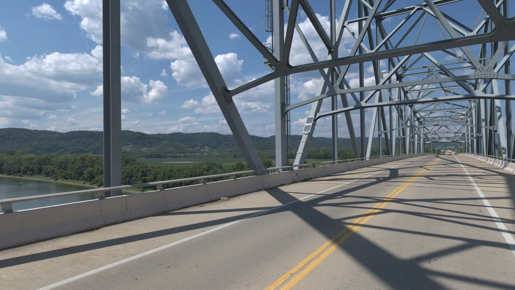
A clearer record.
A practical next step.
Give engineering, operations and field teams a shared view of what exists. Connect roadway imagery, measurements and asset information to the decisions your agency needs to make.
Your roadway, in context.
Time-stamped imagery and georeferenced LiDAR provide a visual record to review, measure and revisit from the office.
 02
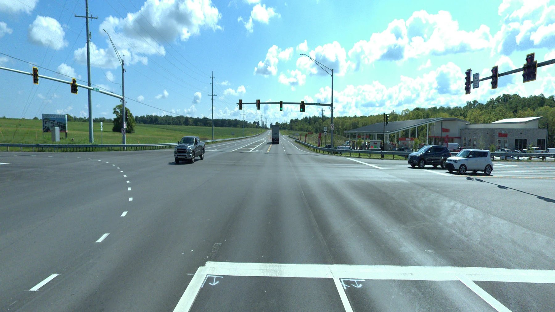
Centerlines, compared clearly.
Inventory existing markings, analyze passing and no-passing zones, and compare observations with proposed striping information.
 03
Assets you can act on.
Bring signs, guardrails, pavement markings and other roadway assets into a usable inventory for inspection and maintenance planning.
Measure
every asset.
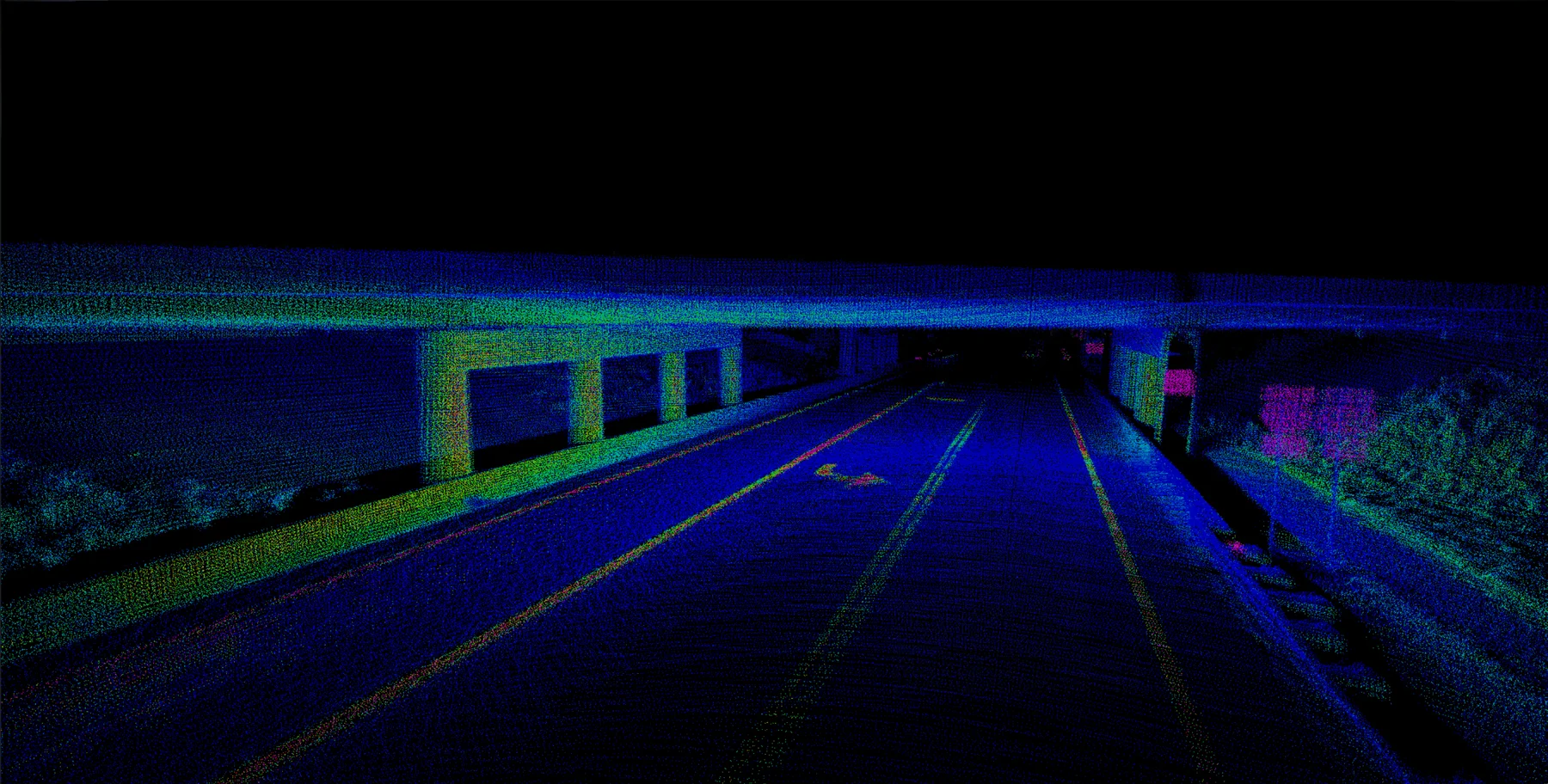
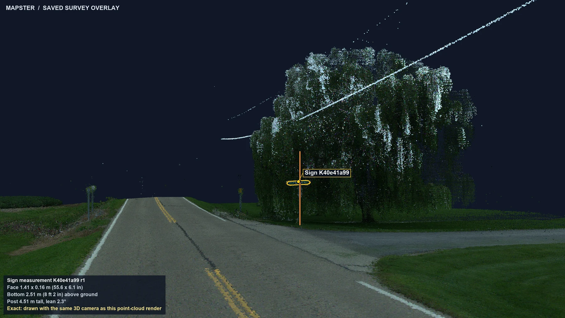
Every example below comes from one drive of State Route 163 in Wood County, Ohio. Review hard-to-reach assets, compare perspectives, and measure them from the office.
How do you review the space beneath a bridge? Follow the captured surfaces into a draft clearance worksheet, then inspect the selected measurement and its context.
Explore this capabilityYour roadway network.
Ready to use.
Review 360° video and point-cloud views of your roads in MapsterStudio™, and take imagery and LiDAR exports into your GIS.
Explore MapsterStudioRoadway asset
safety studies.
Capture the roadway, organize its assets, and prepare the studies your agency needs. Explore the work by service below, or view the three service families.
IN STUNNING DETAIL.↗
013D Mobile Mapping
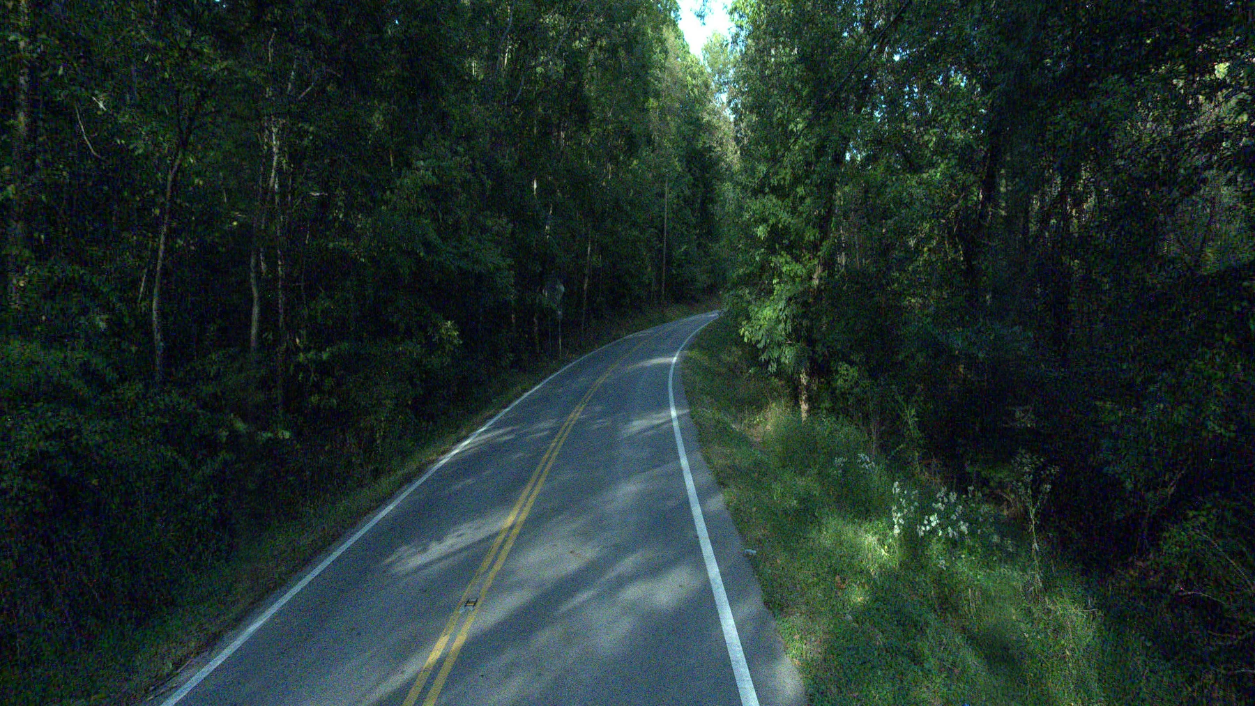
Review the same location in 360° imagery and a georeferenced LiDAR point cloud. A dated capture gives your team shared context for inventories, measurements and follow-up work.
Explore service02Centerline Assurance
Give your engineering team a route-by-route record of passing and no-passing zones, linked to the roadway conditions behind each observation.
Explore service03Pavement Marking Inventory & Inspection
Build a located inventory of pavement markings so maintenance and engineering teams can review condition, quantities and the next striping program.
Explore service04Sign Inventory & Inspection
Give crews an organized record of sign locations, attributes and condition, with imagery that helps them understand the work before visiting the site.
Explore service05Guardrail Inventory & Inspection
Document guardrail runs, end treatments and bridge terminals so your team can locate issues and plan inspections or repairs.
Explore service06Right-of-Way “Clear Zone / Hazard” Assessment
Build a shared record of fixed objects and slopes within the study area, so crews and engineers can work from the same observations.
Explore service07Horizontal Curve “Ball Bank” Analysis
Bring curve locations, advisory-speed observations and warning-sign records together for an organized engineering review.
Explore service08Traffic Count Studies
Document vehicle volumes at selected locations to support planning, project comparisons and related traffic studies.
Explore service09Speed Zone Studies
Combine measured traffic speeds with location context and a documented study, so your agency can evaluate a proposed or existing speed zone.
Explore service Zack SmithNoble County, Indiana
Engineer
MasterMind LLC’s mobile mapping and no-passing zone solutions have significantly enhanced our asset management and roadway safety analysis capabilities. The tools they’ve provided have streamlined our workflows and improved efficiency in our day-to-day operations. Their accuracy, efficiency, and customer support are exceptional—we now make better-informed decisions faster than ever before.
A family business.
A national footprint.
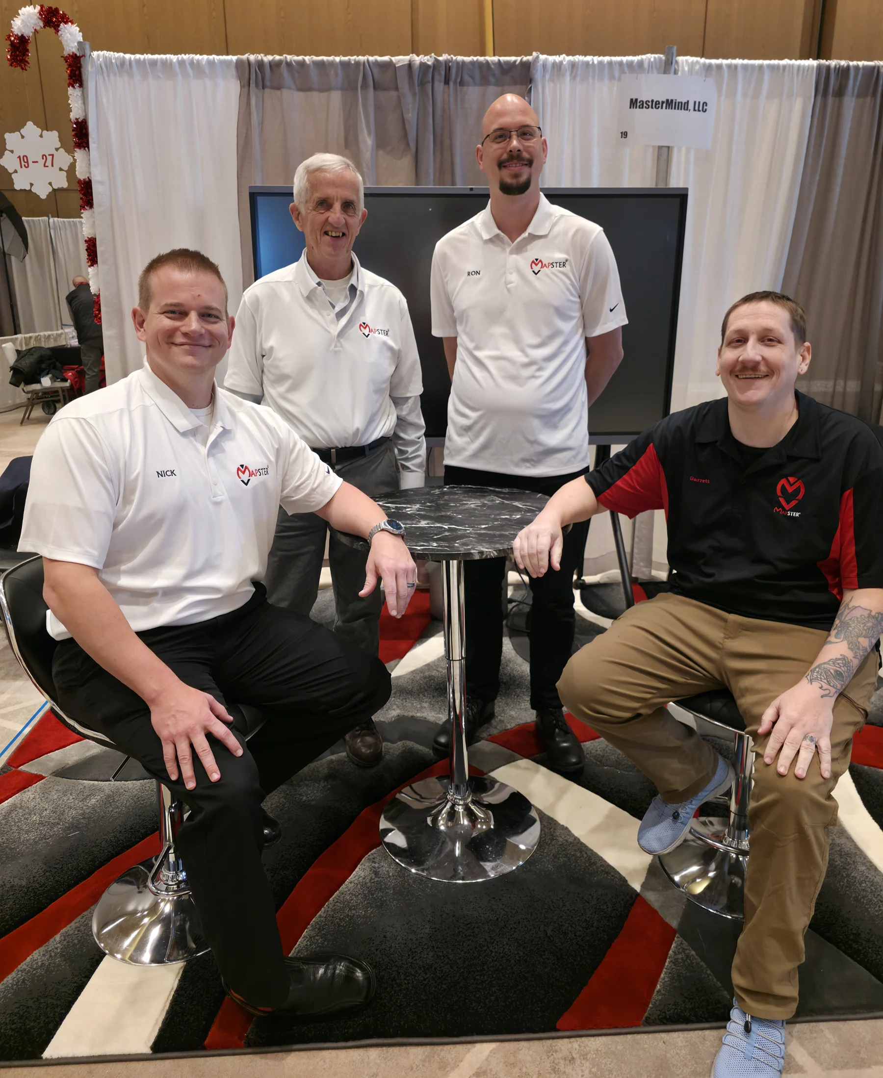
Mapster is the roadway intelligence business of MasterMind, LLC. We are family owned and operated, continuing four generations of family businesses.
Meet Mapster