
Your roadway network.
Ready to use.
Find a route, review its imagery and LiDAR, inspect assets, and share the context behind your next decision. MapsterStudio brings the roadway record and your team’s review into one place.
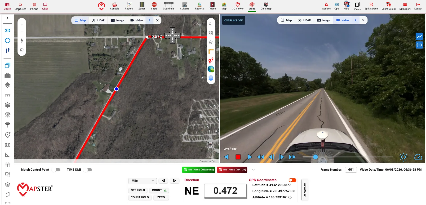
Follow the route on the map beside the 360° video of the same spot, with the milepoint and GPS position of the frame you are on.
Explore project examplesMapsterStudio in motion
Recorded in MapsterStudio using roadway project data. Measurements shown are draft examples; validate them against your project’s quality requirements before use.
One platform, connected views.
Mapster is the company’s roadway intelligence brand. MapsterStudio is the customer workspace. Atlas is its 3D viewer, where imagery and point clouds can be examined together.
Already using SignMaster, RailMaster, PaintMaster or CurveMaster? We continue to support you and the workflows your team knows. MapsterStudio brings our roadway tools and services together for new projects and evolving needs. Find information and support for your MasterMind software.
Find the location
Use route and map context to move to the area you need to review. Inspect street imagery, asset records and the available point cloud.
Review and measure
Compare viewpoints, isolate a feature and take a measurement where the captured data supports it. Record the capture date and consider visibility, point coverage and the tolerance required for your decision.
Share the evidence
Use snapshots, tables and the reports available for your study to communicate a location and the work it needs. Studio’s report workspace includes route, no-passing-zone, comparison and T-mark report options.
Follow the getting-started guide · Understand measurement and quality requirements